If there were water
And no rock
If there were rock
And also water
And water
A spring
A pool among the rock
If there were the sound of water only
Not the cicada
And dry grass singing
But sound of water over a rock
Where the hermit-thrush sings in the pine trees
Drip drop drip drop drop drop drop
But there is no water
excerpt from T.S. Eliot’s, The Waste Land
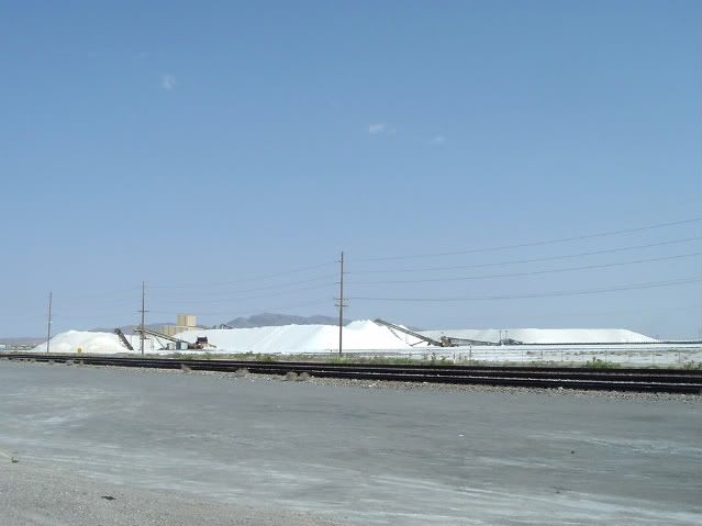
There is a rock in Skull Valley … Lone Rock, but precious little water. Located between the Stansbury Mountains, the tallest of which is Deseret Peak, (just over 11,000 feet) and the Cedar Mountain Range and directly south of the Great Salt Lake, Skull Valley forms part of the Great Salt Lake Desert. In order to get to the valley, I had to head west from Salt Lake City on Interstate 80, skirting the southern part of the lake. At first, the strong northerly wind coming off of the lake brought a faint briny smell that reminded me of the winter I lived on an Atlantic Ocean beach with a blonde who had legs up to her armpits, but as I moved closer, like a bad omen, it soon overpowered that pleasant memory with the foul odor of rotten fish. This is ironic, of course, since no fish live in the Great Salt Lake, only tiny brine shrimp. I guess it all turns out the same. Somewhere around Lake Point (exit 99) I exited the interstate to find a two lane road, stopping to eat a granola bar and snap a picture of huge piles of salt mined from the lake bed.
I then turned south on highway 36 and back west on 138. Passing through the small town of Grantsville, I noticed The Dead Dog Bar, which was unusual because this part of the world is populated primarily by Mormons and their religion strictly forbids the use of alcohol. Not that-that would necessarily stop anyone, but the name was amusing. Highway 138 curves back north toward the interstate where I was able to link up with highway 196, a two lane state road that heads directly south through Skull Valley. It took the Donner Party five days to cross the Great Salt Desert in early August of 1846. They chose this route because they were a month behind schedule and were looking for an alternate route as a shortcut. Instead, in the 80 miles of desert, they lost four wagons mired in the salt-flat mud and several oxen went mad for thirst, some of which died or ran away. It was here that they took an inventory of food and discovered that they were well short of what was necessary for the 600 mile trek that remained, and you probably know what happened in the mountains.
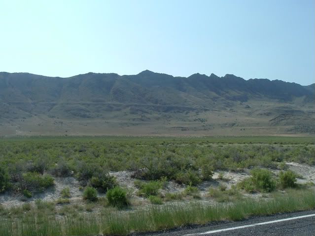
Driving on this desolate stretch of road, it is hard not to try to imagine what it was like for these pioneers traveling across the edge of the known world. It makes you thirsty, even when you’re not. Sitting, isolated on the valley floor is Lone Rock, a geologic reminder of the power of water both real and imagined. On my iPod, Johnny Cash was singing "Buring Ring of Fire," this was synchronisity at its most delightful.
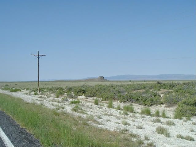
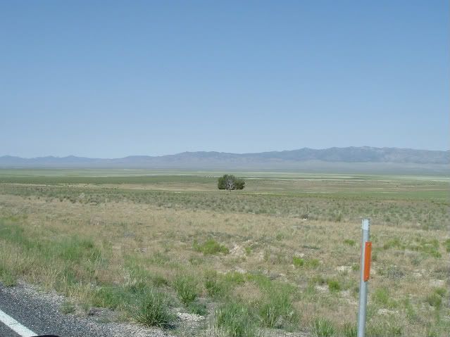
I passed the first of several cattle crossing signs warning that this was open range. The multitude of large caliber holes attested to the connotative as well as denotative meaning to this proclamation. For me it meant wide open throttle as I bent lower toward the tank and tried to outrun the demons that haunted this place … and all the others. The highway was absolutely desolate, except for a single flatbed semi-truck headed in the opposite direction. I saw him five or six miles off and we passed one another in an instant … the road is that straight, a direct path to oblivion. A jack rabbit, mule deer or unexpected blowout would just as easily guarantee my own. Some places seem custom ordered for tragedy, like a horror movie set---this was one of them. I flogged that bike like a rented mule.
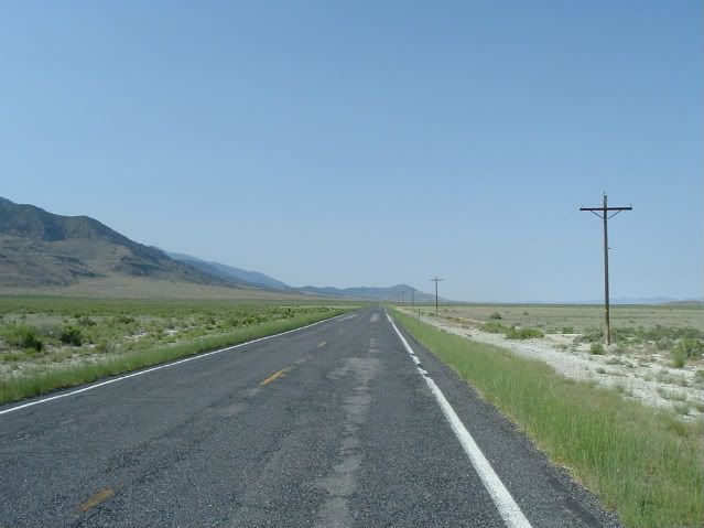
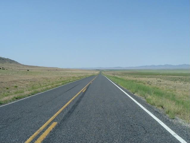
Twenty rocket-fast miles further on, I came across what was left of the town of Iosepha. In this case, what was left was a cemetery. Here, Darwin and religion had a spaghetti western style shoot-out---Darwin won.
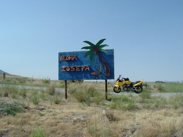
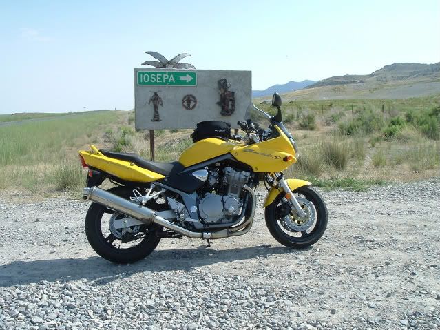
The rusted metal-work sign announces aloha. Here the head scratching starts only to be followed by forehead slapping. What the f@c# were they thinking? By this time, my lips were cracked from the arid wind and the salty taste of blood punctuated the sight of memorial markers I found at this well tended cemetery.
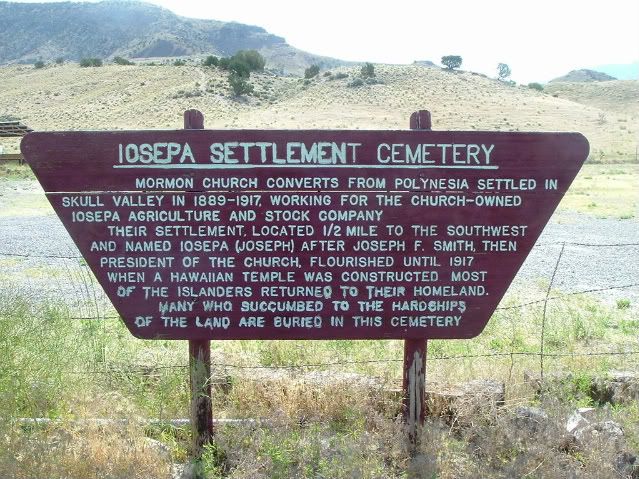
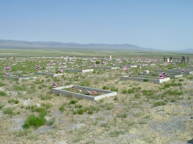
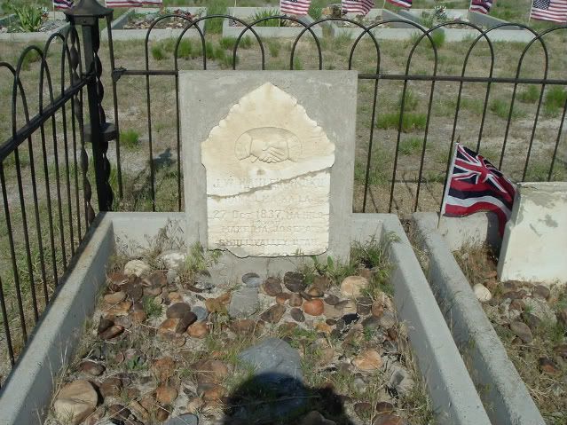
As it turns out, in the late 1880’s a group of fifty or so Hawaiians were converted by the Mormon Church and convinced that it would be a good idea to LEAVE Hawaii and start an agriculture based colony out here in the desert. By 1917, the few that remained decided that they should return home. That decision took almost 30 years … in Skull Valley … that speaks to the power of religion or faith or whatever you want to call it. It looks like the church spent a great deal of money and time memorializing this place, fresh flags installed on many of the graves just in time for Mormon Pioneer days. A large granite plaque suggested that the settlers returned after a Mormon Temple had been constructed in Hawaii, not that this colony had been a monumental failure. You gotta admire spin, even here in the face of the obvious. The dirt in my mouth made me feel like spitting, but decided to save it. Not being a religious man myself, I remounted my bike and returned back down the gravel road to the thread of asphalt and continued to head south.
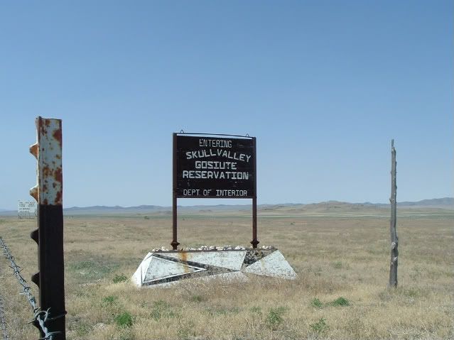
After another twenty miles, highway 196 ends at the entrance to the Dugway Proving Grounds, a restricted military test area. No trespassing signs placed about every 50 yards adorn miles of chain link fence, but the ominous hive-like sirens mounted on top of telephone poles provide another kind of visceral warning, even when silent. Something intuitive tells you this is a red frog, don’t pick it up. Of course, there are also the reports. In 1969, a military memo suggested that “the extremely unfortunate Skull Valley incident” of some nerve gas testing out here resulted in the death of several thousand sheep downwind of the test site. I hadn’t seen any sheep, so who knows. I couldn’t imagine more than several hundred sheep surviving out here on the sparce vegatation, even without the nerve gas. There are a few head of cattle here and there and most of them still had plenty of flesh on them.
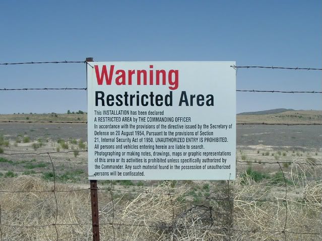
From Dugway, you have very limited choices as to where you can get to from here. You can take off across the desert on any one of several unmarked dirt trails or you can head east on highway 199. Not wanting to add to the namesake of the valley, I chose the latter. Highway 199 crosses the southern tip of the Stansbury Mountains and as I left the valley floor and into the higher elevation, the character of the road changed as quickly as a drunken cowboy.
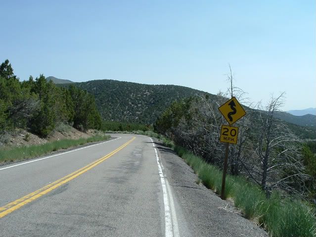
A dozen switchback curves later, I realized I had discovered one great motorcycling road, which I shared with only two other vehicles—both going in the opposite direction. By the time I made it to the junction of highway 36 in Rush Valley, I felt like I needed a cigarette. But since I quit smoking in 1993 and there probably wasn’t a convenience store within miles, my lungs, at least for the time being, were safe. Heading back north to Tooele, I passed another bar---the aptly named B.F.E. I should have stopped. A cold beer would have tasted really good right then, but I never did get that pack of cigarettes or tattoo. All would have to wait.


 cool
cool